Collecting Delaware Books
Collecting Road Maps
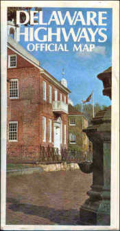
about 1971
Gov. Sherman Tribbitt
on back
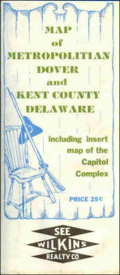
about 1976
Old road maps of Delaware can be interesting collectibles and valuable research sources. Such maps were issued by oil companies, the state, banks, chambers of commerce, the American Automobile Association, and a number of commercial publishers such as Franklin Survey Co., Geographia Map Co., and Alexandria Drafting Co..
Dating road maps is often difficult. They usually have no date on them, probably so they could be sold until stock was exhausted. Even today, it is common to find outdated maps sold at news stands after new editions are issued.
Detective work and a knowledge of local history help in dating maps. A list of housing developments and their subdivision dates is invaluable. In New Castle County, the construction of I-95 provides an instant horizon. The construction of Dupont Highway the length of the state provides an earlier marker. Someday the new Delaware 1 will provide similar dating.
Storing a collection takes care. Old road maps are often in well-used condition. Opening and refolding them too often can cause further damage. Colored inks will fade if maps are left open permanently.
Road atlas books of the United States are also of interest. They show how Delaware highways connected to the rest of the country. Several books of the American Guide Series include detailed highway information as well as local points of interest in the 1930s.
The American Automobile Association issued Blue Books in the 1920s and 1930s. These were mile-by-mile and intersection-by-intersection descriptions of the public roads. Though not truly maps, these guides are a wealth of historical information. They are sometimes difficult to understand where highways have changed drastically.
Most roads, however, are remarkably stable. Comparing a modern road map with a copy of Beers 1868 atlas of Delaware will show many city, suburban, and rural roads are unchanged in location or name.
It is the features that change that provide the greatest interest. A 1945 map shows New Castle County Airport, Biggs Airport, and Wilmington Airport (Bellanca Field) adjacent to one another. Their borders actually touched. Biggs was in the area now occupied by the New Castle Farmers Market, and Wilmington was south of the present Delaware 273. What an air traffic nightmare that must have been.
It is an adventure to try to follow the old maps and guide books on today's highways and try to connect with the drivers and scenery of the past.